Every field, checked from space. Every farmer, in their language.
One field intelligence platform that turns satellite scans, weather and farmer requests into advice, service and a harvest plan.
earthEvery field, seen from space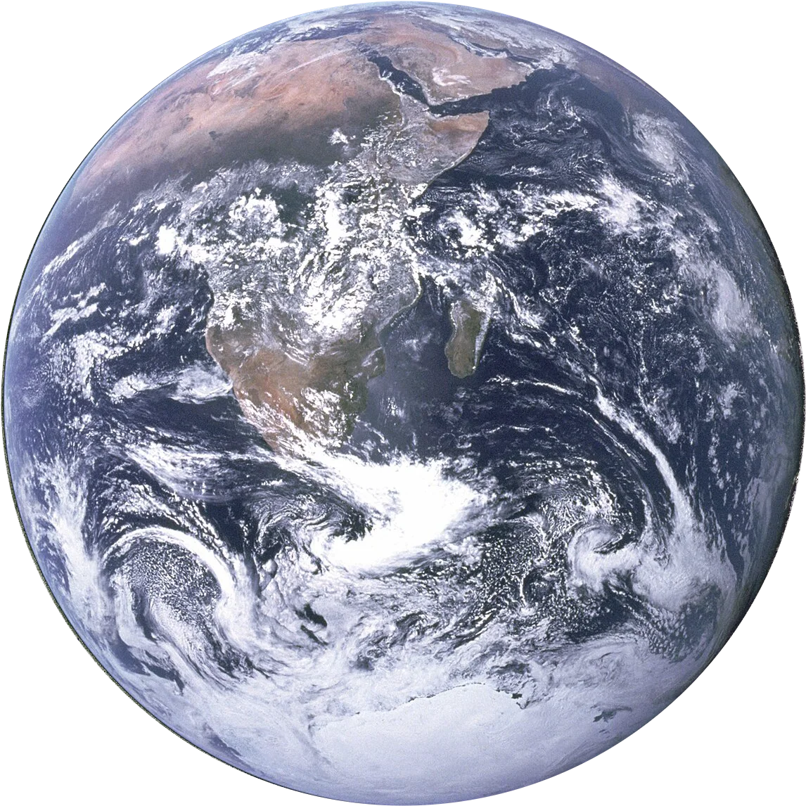
The same business, on one system.
Left is how most teams work today. Right is the same business on &n.
A sugar mill working with thousands of farmers
- NOTEBOOKField officer’s visit notes
- PHONEFarmer calling about pests
- EXCELHarvest schedule by village
- WHATSAPPPhotos of crops, unsorted
- RADIOWeather from the news
- PAPERService request slips
- GUESSWhich fields to cut first
One field intelligence platform
- Spots crop stress from satellite scans
- Sends advice in the farmer’s language
- Plans the cutting order for the mill
One field intelligence platform.
Each module is shaped around your process in the diagnosis. You start with the ones that remove the most rework.
Farmer and plot registry
Every farmer, every plot, its crop and its planting date, mapped.
Satellite crop health
Each plot scanned every few days, with stress shown before it is visible from the road.
Weather alerts
Forecasts by village, sent when they change what a farmer should do.
Crop advice
Guidance in the farmer’s own language, tied to their plot and crop stage.
Service requests
Raised from the farmer’s phone, assigned to a field officer, tracked to closure.
Harvest planning
A cutting order built from crop maturity and mill capacity.
AI drafts. Your people decide.
- Spots crop stress from satellite scans. The field officer confirms on the ground.
- Sends advice in the farmer’s language. The agronomist approves the advice first.
- Plans the cutting order for the mill. The cane manager signs off the plan.
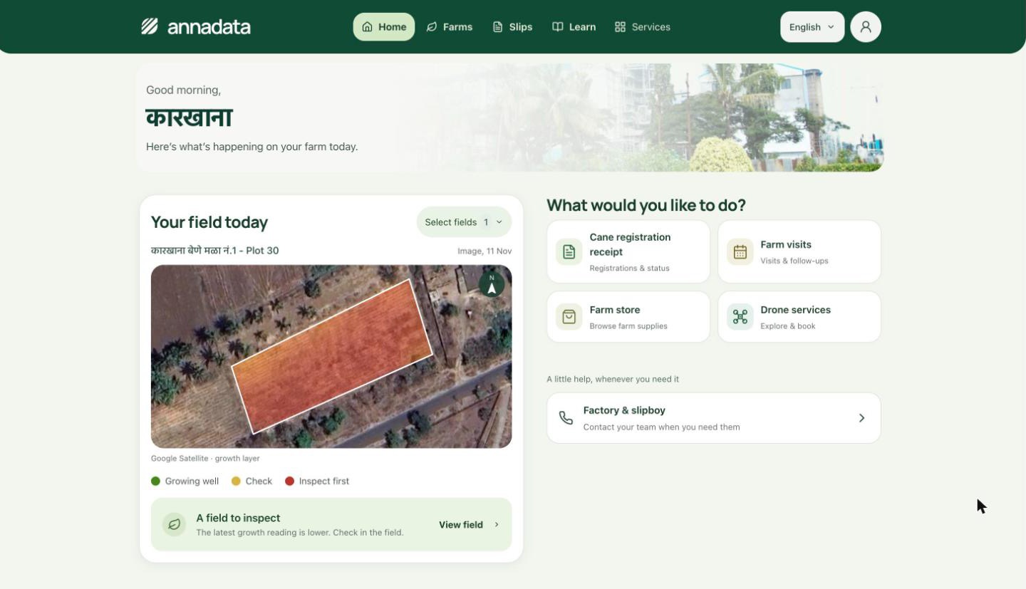
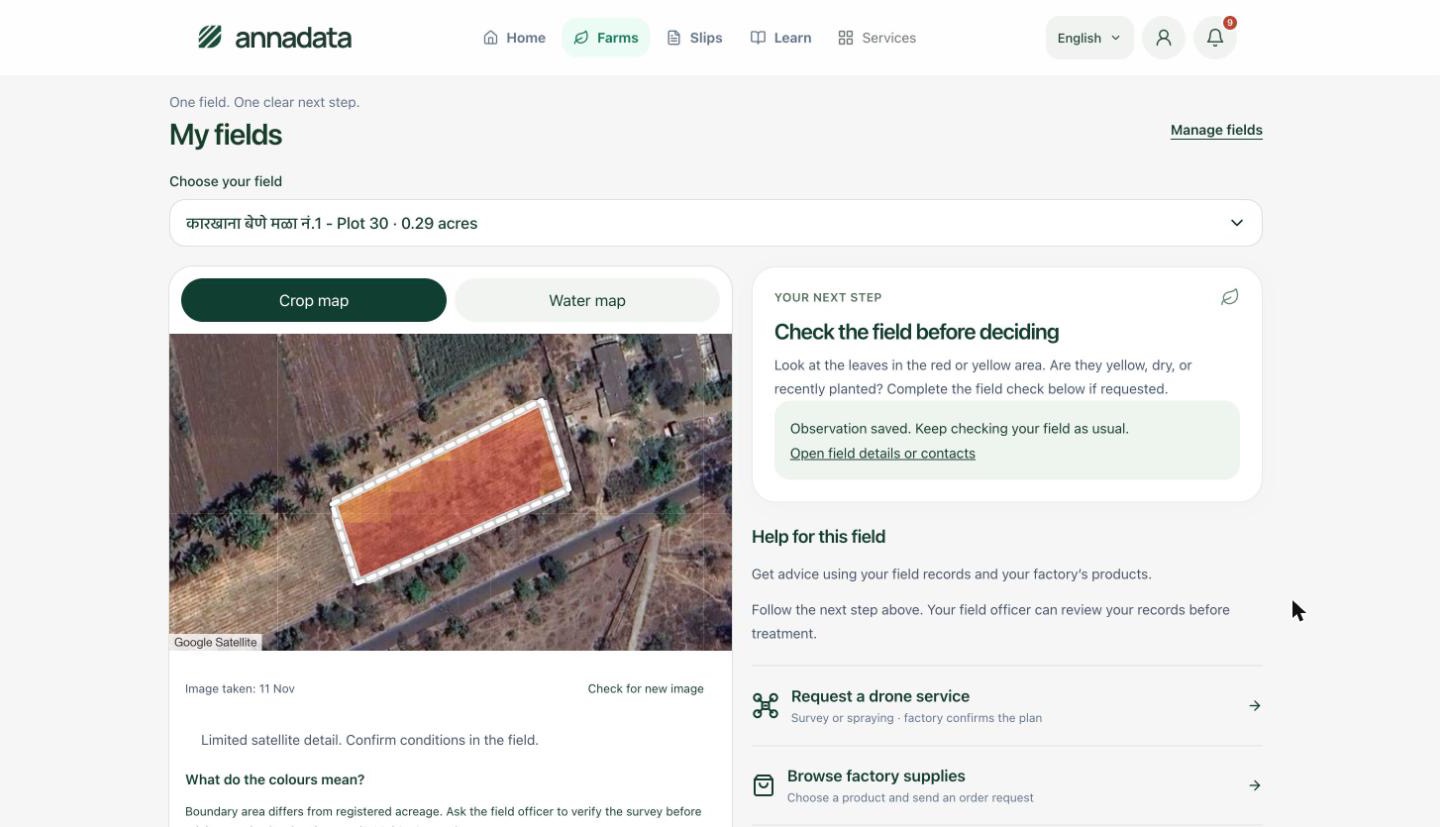
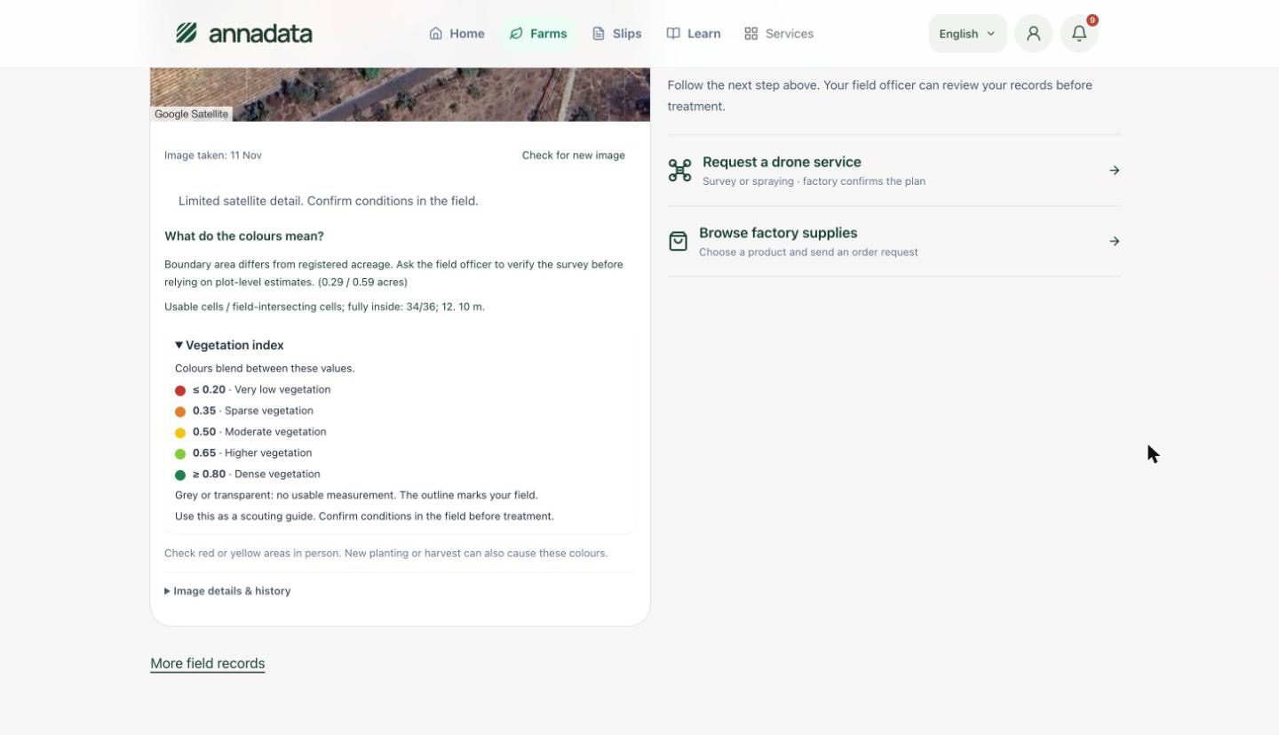
What the farmer sees.
Real screens from the app in use, shown in English. It also runs in Marathi and Hindi. The client’s name is removed.
Built for the rules you are judged by.
Built for the conditions farmers actually work in, not for an office.
- Works on low-cost Android phones
- Usable with patchy or no connectivity
- Regional languages and voice, not only text
- Satellite imagery providers
- Weather services
- Mill ERP and weighbridge
- SMS and WhatsApp
Built from zero, running every day.
Questions we hear first.
How often are fields scanned?
Every few days, depending on satellite passes and cloud cover.
Which languages does it support?
We set up the languages your farmers speak during the diagnosis, including voice where reading is a barrier.
What does a farmer need to install?
A light Android app. Farmers without a smartphone can still receive advice by SMS or through their field officer.
Does it work for crops other than sugarcane?
Yes. The registry, scans and advice are set up per crop.
Every engagement begins with a two-week diagnosis.
One workflow, two weeks. You keep the map either way.